
How Rural Municipalities in Manitoba Can Use Drones for Inspections, Mapping, and Public Works
Ditches, culverts, gravel roads, and drainage networks stretch across every RM in the province, and most of it only gets a second look once something's already gone wrong. Here's how a municipal drone program flips that script, and what it actually takes to run one properly.
Road, Ditch, Culvert, and Drainage Monitoring
Quick question for anyone in public works: when was the last time someone actually looked at that culvert on the low spot past the yard, before it started causing problems?
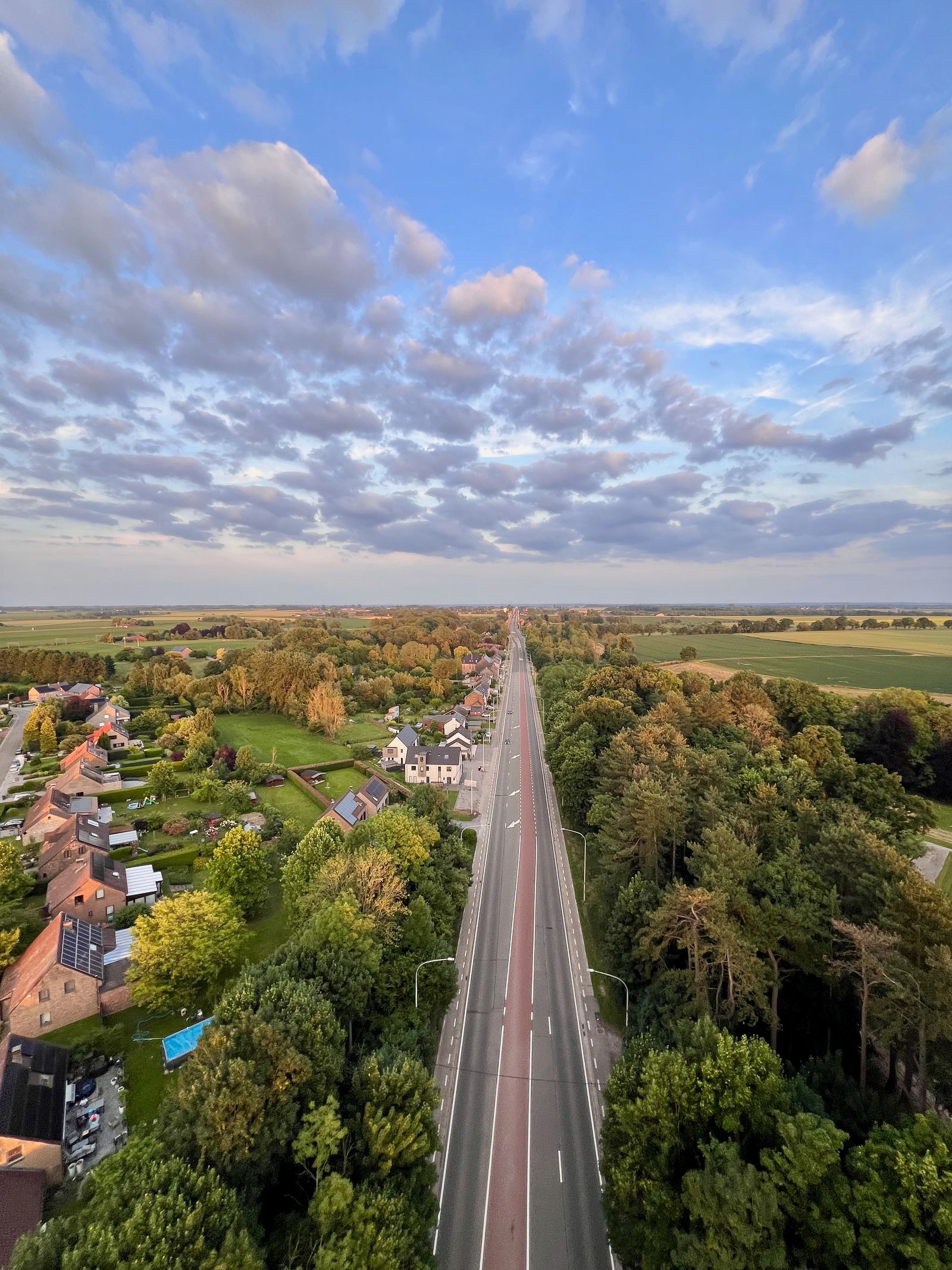
Most RM infrastructure only gets inspected reactively. After a ratepayer calls. After a washout. After the spring thaw finds the weak point for you. A rural municipality in Manitoba might be responsible for hundreds of kilometres of gravel road, dozens of culverts, and a drainage network that was mapped, if it was mapped at all, decades ago. Public works crews do their best with the routes they can drive, but a culvert tucked under a low approach or a ditch silting in behind a field doesn't show up from a truck window until it's already a problem.
A drone flight changes the economics of that inspection entirely. A single Mavic 3M or Matrice 4E flight can document a full culvert inventory, a ditch line, or a stretch of gravel road in far less time than a crew walking or driving it. And it leaves behind a permanent, geotagged photo and video record instead of a supervisor's notes from memory.


Flood-Prone Area Documentation
Every RM has one road that floods first, right on schedule, like clockwork every spring. Manitoba municipalities know their flood-prone stretches by heart. The same low-lying road, the same overwhelmed culvert, the same stretch of ditch that backs up year after year. What's often missing isn't the knowledge. It's the documented and dated evidence of it.
A drone flight before, during, and after a flood event builds a record that's useful for more than just situational awareness in the moment. It supports disaster assistance claims and gives council and ratepayers a clear picture of what happened and where. Flown on the same path year after year, it also builds something more valuable: a real history of which spots are getting worse, and which infrastructure fixes are actually working.
There's a safety upside too. During an active flood, a drone can check water levels against a culvert or confirm whether a road is still passable, without a crew member driving out onto ground that may not hold.

Site Mapping and Asset Records
Beyond day-to-day inspection, a mapping-capable drone gives an RM something a lot of municipalities have never really had: an accurate, current map of its own infrastructure.
A Matrice 4E flight over a gravel pit, lagoon, transfer station, or municipal yard produces a survey-grade orthomosaic and, where needed, a 3D model. That's genuinely useful: calculating stockpile volumes, measuring how full a wastewater lagoon is against its total holding capacity so staff know when it needs to be pumped out or expanded, or simply having an as-built record of a site that predates anyone currently on staff. Flown annually or after major work, that record becomes a running asset history instead of a one-time snapshot, and it's far cheaper to generate than bringing in a surveyor for routine updates.
Reducing Unnecessary Truck Rolls
For a public works department covering a large rural footprint with a small crew, windshield time is one of the biggest hidden costs in the operation. Think about it: a ratepayer complaint about a culvert, a councillor asking about a road, a routine check on a site 40 minutes from the shop. Each one can eat up an hour or more of a crew member's day before any actual work gets done.
None of this replaces a crew showing up to actually fix a culvert or grade a road. What it replaces is the trip that only exists to go look at something, and a surprising amount of a public works department's windshield time falls into exactly that category.
Training Internal Staff vs. Hiring Drone Services
Once an RM decides drones are worth using regularly, the next decision is who actually flies them. And there's a genuine trade-off either way, not a clear right answer.
Hiring a drone service
No certification or equipment investment required, and it's a reasonable way to start with a one-off flood assessment or a single mapping project. The catch is availability and cost per flight. A contracted operator isn't standing by the day a washout needs documenting, and repeat visits for routine monitoring add up quickly.
Training internal staff
A public works employee with a Transport Canada RPAS certificate can fly on the municipality's own schedule: the same afternoon a complaint comes in, not whenever a contractor is next available. The upfront cost is training time and equipment, but for an RM doing this more than a handful of times a year, in-house capability pays for itself in responsiveness alone.
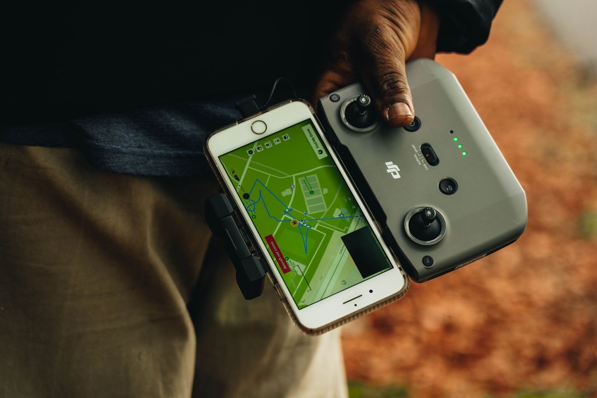
Most RMs land somewhere in between. Train one or two staff for routine inspection and mapping work, and bring in a specialized service for anything requiring equipment or expertise outside that scope, like night thermal work or a large-scale survey project.
How to Build a Compliant Municipal Drone Program
Here's the part that's easy to skip past in the excitement of a new tool: a municipal drone program is still a commercial RPAS operation in the eyes of Transport Canada, and it needs to be built that way from the start. The fact that the operator is a public works employee rather than a private contractor doesn't change the regulatory requirements one bit.
A Transport Canada RPAS pilot certificate matched to the aircraft weight and the airspace the RM operates in. Most municipal work falls under Basic or Advanced operations.
Every drone over 250 g used commercially needs to be registered with Transport Canada and marked with its registration number.
Written guidance for staff on where the RM does and doesn't fly, airspace near the local airstrip if there is one, and who signs off on a flight.
Insurance that specifically covers municipal RPAS operations, separate from general municipal liability policies.
A consistent way to file and store flight imagery so it's retrievable for a future asset comparison, a council question, or a claim, instead of scattered across individual staff phones.
The RMs that get the most out of a drone program are the ones that treat it as an actual program from day one: a certified pilot, a written policy, and a place to keep the data. Not just "someone bought a drone."
Matching the Aircraft to the Job
Which platform makes sense depends on what an RM is actually flying for. Mapping a lagoon is a different job than checking a culvert after a storm, and the right aircraft for one isn't always the right aircraft for the other.
| Platform | Best for | Why |
|---|---|---|
| Mavic 3M | Routine inspections, quick site checks, small mapping jobs | Portable, fast to deploy, RGB and multispectral in one compact airframe |
| Matrice 4E / 4T | Survey-grade mapping, culvert and road corridor documentation, thermal work | Precision photogrammetry, long zoom for close inspection without getting close, thermal option for night or water-level checks |
| Matrice 400 | Large-scale mapping, flood response, multi-site days | Long endurance and heavy-lift payload flexibility for RMs covering the most ground |
Specifications reflect DJI Enterprise manufacturer data. Vantage can help size the right platform and payload combination to an RM's actual call volume and terrain.
Full specs, configurations, and pricing for each platform are available in the Vantage drone shop.
Build a Drone Program That Fits Your RM
Talk through your inspection routes, flood-prone areas, and asset mapping needs, and we'll help you find the right aircraft, training path, and compliance setup.
Book a Municipal Drone Consultation