Land management—whether in agriculture, forestry, construction, or surveying—has long relied on manual labor, helicopters, and ground equipment. But with drone technology advancing rapidly, is it time to switch?
This analysis breaks down the cost savings, efficiency gains, and safety benefits of drones compared to traditional methods.
1. Surveying & Mapping
Traditional Method:
-
Ground survey teams with GPS rovers
-
Manned aircraft for aerial photogrammetry
-
Time: 2-3 weeks for 100 acres
-
Cost: 5,000–15,000 per project
Drone Solution (e.g., DJI M350 RTK + L1 LiDAR):
-
High-resolution 2D/3D maps in hours
-
Centimeter-accurate data with RTK positioning
-
Time: 1-2 days for 100 acres
-
Cost: 800–2,000 per project
✅ Savings: Up to 90% cheaper, 10x faster
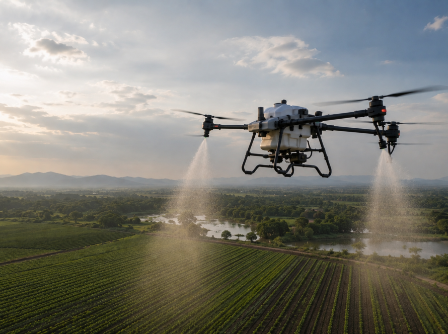
2. Crop Monitoring (Agriculture)
Traditional Method:
-
Manual scouting (walking fields)
-
Satellite imagery (low resolution, cloud delays)
-
Time: Days to cover large farms
-
Cost: Labor + potential yield loss from late detection
Drone Solution (e.g., DJI Mavic 3M Multispectral):
-
NDVI health maps showing stress before visible symptoms
-
Real-time data for targeted interventions
-
Time: 1 hour per 100 acres
-
Cost: 300–500 per flight
✅ ROI: 20–30% higher yields, 50% less chemical waste
3. Infrastructure Inspection (Bridges, Cell Towers, Pipelines)
Traditional Method:
-
Inspectors on ropes/boom lifts (high risk)
-
Helicopters (expensive, weather-dependent)
-
Time: Days to weeks
-
Cost: 3,000–10,000+ per inspection
Drone Solution (e.g., DJI M30T Thermal):
-
4K zoom + thermal imaging for defect detection
-
No downtime for infrastructure
-
Time: 1–2 hours
-
Cost: 500–1,500 per inspection
✅ Advantage: Safer, 80% cheaper, no work stoppages
4. Stockpile & Mining Volume Measurements
Traditional Method:
-
Manual surveying (prone to human error)
-
Laser scanners (expensive, slow)
-
Time: Days for large sites
-
Cost: 5,000–20,000 per survey
Drone Solution (e.g., DJI Phantom 4 RTK):
-
Automated volume calculations (±1% accuracy)
-
Cloud-based reporting (instant updates)
-
Time: 1–2 hours
-
Cost: 300–800 per survey
✅ Savings: 90% faster, 70% cost reduction
5. Construction Site Monitoring
Traditional Method:
-
Monthly helicopter flyovers
-
Ground teams with total stations
-
Time: Weeks for progress reports
-
Cost: $10,000+ per month
Drone Solution (e.g., DJI Mavic 3 Enterprise):
-
Weekly (or daily) automated drone maps
-
AI-powered change detection vs. BIM models
-
Time: 1–2 hours per flight
-
Cost: 1,000–3,000 per month
✅ ROI: Avoid $100K+ in rework with early error detection
The Bottom Line: Drones Pay for Themselves
| Metric | Traditional Method | Drone Solution | Savings |
|---|---|---|---|
| Surveying 100 Acres | $10,000 | $1,500 | 85% |
| Monthly Inspections | $8,000 | $1,200 | 85% |
| Stockpile Volumetrics | $15,000 | $800 | 95% |
| Crop Health Analysis | Labor-intensive | $400/flight | 50–70% |
Additional Benefits:
✔ Safer – No risky climbs or helicopter flights
✔ Faster Decisions – Real-time data vs. waiting for reports
✔ Regulatory Compliance – Transport Canada-approved workflows
When Do Drones Not Make Sense?
-
Extreme weather (heavy rain, high winds)
-
Very small areas (<5 acres, where manual checks suffice)
-
Projects requiring millimeter precision (some engineering surveys still need ground lasers)
How to Get Started
-
Identify Pain Points (What’s costing you time/money?)
-
Test a Pilot Project (Many providers offer demo flights)
-
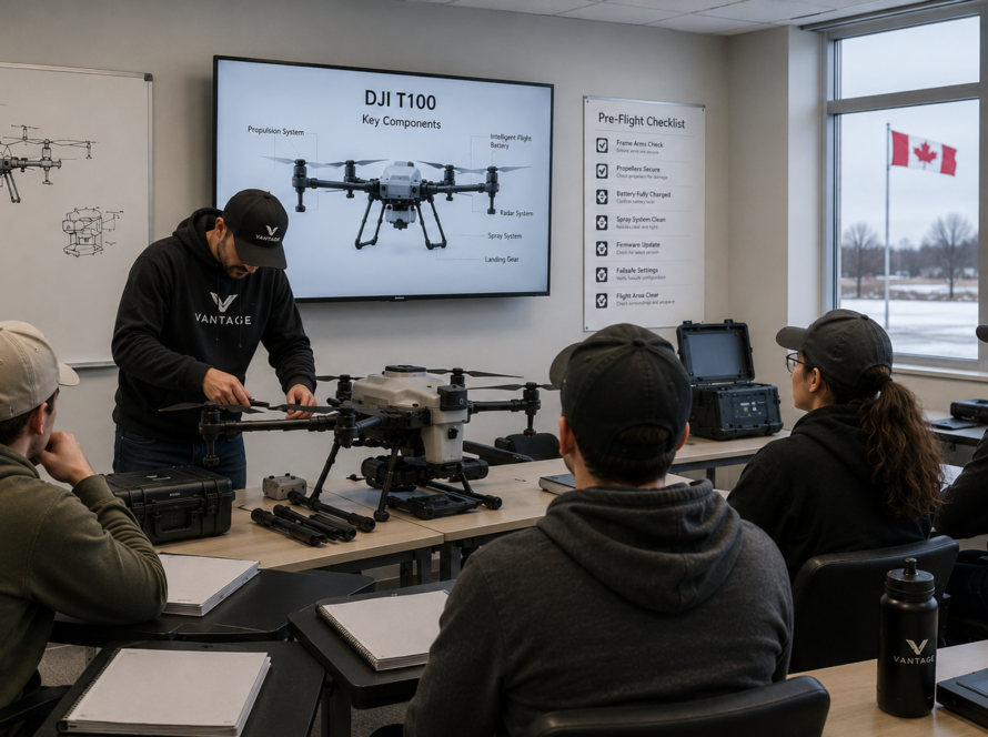
Train Your Team (Transport Canada certification takes <1 week)
-
Integrate with Existing Tools (AutoCAD, GIS, farm management software)
[📞 Book a Free Cost-Savings Analysis] – See how much you could save.
Final Takeaway
Drones aren’t just “cool tech”—they’re a proven cost-saving tool for land managers. Whether you’re a farmer, surveyor, or construction firm, the ROI is clear: faster, cheaper, safer, and smarter operations.