Drones aren’t just for hobbyists—they’re transforming industries by slashing costs, improving safety, and delivering data faster than ever. From oil rig inspections to construction progress tracking, here are the top 7 ways enterprise drones like the DJI Matrice 350 RTK are optimizing operations across Canada.
1. Surveying & Mapping
🚀 Key Benefit: 90% faster than traditional ground surveys
💡 Best Drone: *DJI Matrice 350 RTK + P1 Photogrammetry Camera*
-
Create centimeter-accurate 3D maps for land development, agriculture, and urban planning.
-
Cut survey costs by 50%—no need for manned aircraft or GPS rover teams.
-
Case Study: A BC mining company reduced survey time from 3 weeks to 2 days using drone LiDAR.
2. Infrastructure Inspection
🚀 Key Benefit: No more scaffolding or risky climbs
💡 Best Drone: DJI Mavic 3 Thermal
-
Inspect cell towers, bridges, and power lines with 4K zoom and thermal imaging.
-
Detect cracks, corrosion, or heat leaks 10x faster than manual inspections.
-
Regulatory Win: Transport Canada now allows BVLOS (Beyond Visual Line of Sight) for pipeline inspections.
3. Mining & Aggregates
🚀 Key Benefit: Real-time stockpile volumetrics
💡 Best Drone: *DJI M300 + L1 LiDAR*
-
Measure stockpile volumes with <1% error—no more manual estimates.
-
Monitor blast sites safely from 500m away.
-
Cost Saver: An Alberta oil sands site saved $200K/year on surveyor fees.
4. Construction Progress Tracking
🚀 Key Benefit: Avoid costly rework with weekly aerial audits
💡 Best Drone: DJI Mavic 4 Enterprise
-
Compare site progress to BIM models to catch errors early.
-
Document timelines for legal/insurance claims.
-
Pro Tip: Use AI-powered software (like Propeller) to auto-detect delays.
5. Real Estate & Urban Planning
🚀 Key Benefit: Stunning marketing + accurate site analysis
💡 Best Drone: DJI Air 3 (budget) or Mavic 3 Cine (premium)
-
Virtual tours sell properties 50% faster (Realtor.ca 2024 data).
-
Sunlight/shadow studies for condo developments.
-
Zoning Compliance: Map setbacks and green spaces in minutes.
6. Emergency Response & Public Safety
🚀 Key Benefit: Situational awareness in minutes
💡 Best Drone: *DJI Matrice 30T (thermal + zoom)*
-
Search & rescue: Cover 100 acres in 20 mins vs. 6 hours on foot.
-
Firefighting: Track wildfire spread with live thermal feeds.
-
Case Study: Peel Police located a missing hiker 3 hours faster using drones.
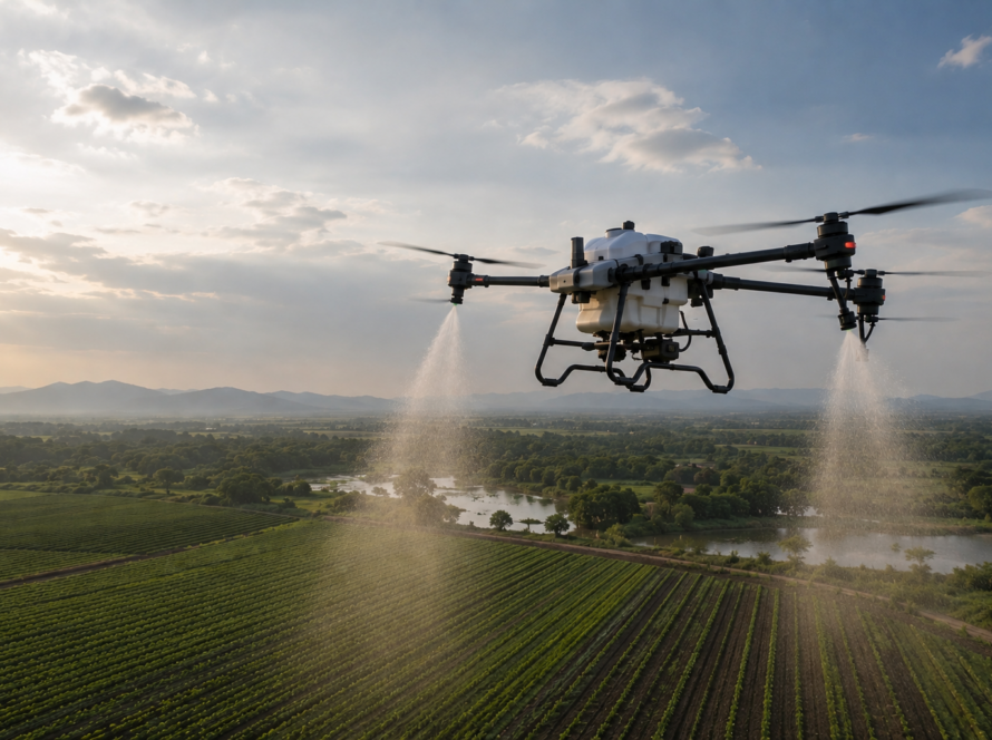
7. Precision Agriculture (Beyond Spraying)
🚀 Key Benefit: Data-driven decisions for higher yields
💡 Best Drone: DJI Mavic 3M Multispectral
-
Early pest/disease detection via NDVI maps.
-
Soil health analysis to optimize fertilizer use.
-
ROI: A Manitoba farm increased profits by $150/acre using drone data.
Why Canadian Enterprises Choose Drones
| Traditional Method | Drone Solution | Savings |
|---|---|---|
| $15K helicopter survey | $1.5K drone map | 90% cheaper |
| 3-week inspection | 2-day drone scan | 85% faster |
| Manual stockpile guess | Automated LiDAR | 99% more accurate |
💡 Pro Tip: Pair drones with AI analytics software (e.g., Pix4D, DroneDeploy) for automated reports.
Getting Started with Enterprise Drones
-
Identify Pain Points (e.g., slow inspections, inaccurate data).
-
Choose the Right Hardware (We recommend DJI Enterprise kits).
-
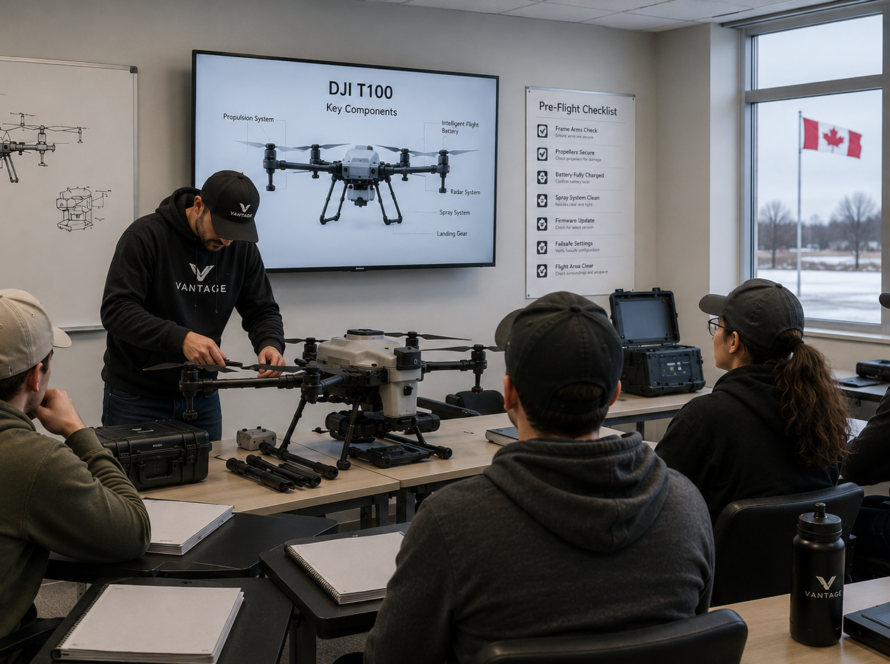
Train Your Team (Transport Canada certification included).
-
Integrate with Existing Software (AutoCAD, ArcGIS, etc.).
[Book a Free Drone Consultation] → Tailored solutions for your industry.